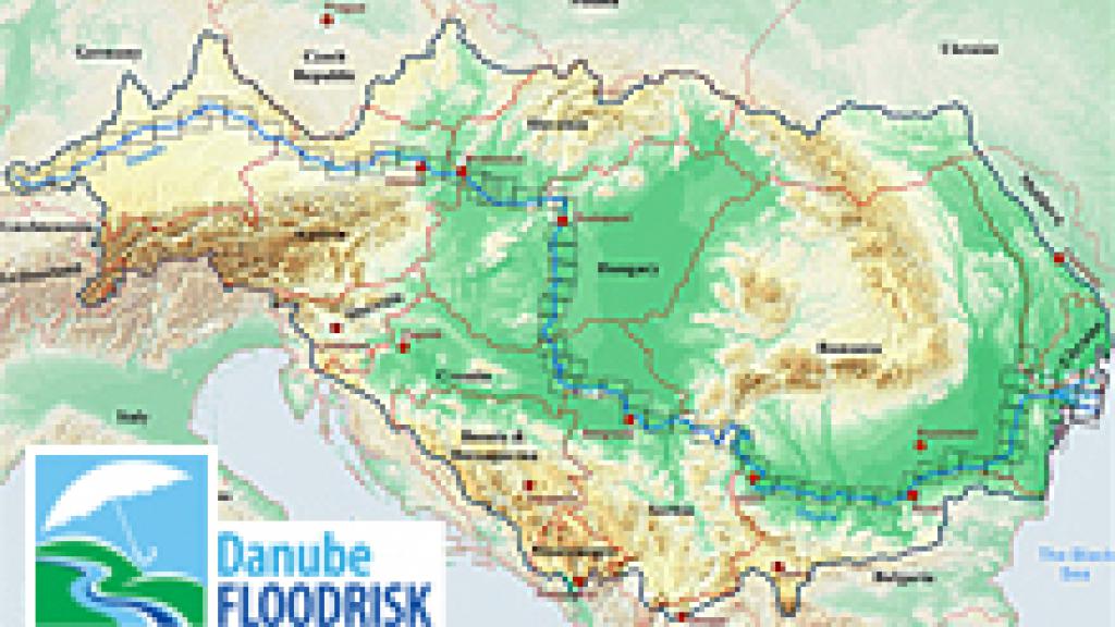
Danube FloodRisk Project
The overall objective of the Danube FLOODRISK project was to develop and produce high quality, stakeholder oriented flood hazard and flood risk maps for the transnational Danube river floodplains to provide adequate risk information for spatial planning and economic development activities.
Risk information is the basis for a sustainable development along the Danube River. The aim of the project was to link the scientific progress in harmonizing the flood mapping approaches and the respective data with target oriented stakeholder and end user involvement. Vertical and horizontal cooperation were the two pillars of the project.
Objectives of the project
- Development of a joint mapping method for flood hazards and flood risks and harmonization of data sources.
- Production of flood hazard and flood risk maps.
- Integration of relevant stakeholders and users on different levels into the project activities.
- Involvement of different economic aspects of land use into the river basin level spatial planning.
- Development and dissemination of pilot procedures within the Danube countries and beyond.
- Reflection of the requirements of the EU Floods Directive and EU Water Framework Directive, and providing an expert & stakeholder feedback using the platform of the ICPDR Flood Protection Expert Group.
The project contributed with these objectives to the improvement of the institutional cooperation of the ICPDR and further towards the realization of measures within the existing international cooperation structure. It supported decisions for investment and land use planning on political and administrative levels taking into account the Joint Program of Measures having in mind the risk reduction aspects.
Danube Atlas - Flood Hazard and Risk Maps 2012
The main goal of the DanubeFLOODRISK Atlas 2012 (1:100,000), which is the key outcome of the project, is to raise the citizens’ awareness along the Danube river with respect to their exposure to floods and the inherent flood risk. The Danube Atlas is part of the ICPDR Action Programme for the Sustainable Flood Protection in the Danube River Basin, and also a significant contribution to the implementation of the EU Danube Strategy. The Danube Atlas shows areas exposed to flood hazard and the associated damage potentials and flood risk. The Atlas, therefore, supports the prioritization of measures to be taken within the implementation of the EU Floods Directive. Maps representing the flood hazard (top map) illustrate the anticipated inundation depth in graded blue colors. Quantifying the flood risk for people and assets, the flood risk maps (bottom map) outline possible damages in case of extreme floods.
Please click on any of the rectangles in the overview map to download the respective flood hazard and risk map as PDF.


