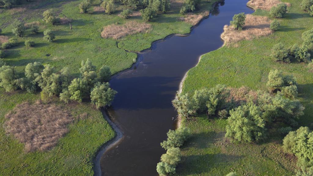
Sub-basins

Sub-basins are smaller working units within a larger river basin or catchment area. They represent a distinct geographical area that is delineated based on the natural drainage patterns of rivers and their tributaries. Sub-basins are used to facilitate the management and assessment of water resources, allowing for more focused and localized analysis and planning within the broader context of the overall river basin.
They play a crucial role in the implementation of the Water Framework Directive, particularly in relation to the management of river basins. When developing a Danube River Basin Management Plan, the Danube River Basin is divided into smaller working units, known as sub-basins.
Some sub-basins are naturally large, such as the Tisza River catchment, which spans across five countries. On the other hand, smaller catchment areas have been combined to form sub-basins of a more manageable size.
The Danube River system consists of multiple sub-basins, such as the Danube Delta, the Drava Basin, the Sava Basin, the Tisza Basin, and the Prut sub-basin. Each of these sub-basins has its unique characteristics and plays a vital role in the overall functioning of the Danube River and its associated ecosystems.
Danube Delta
The Danube Delta is one of the sub-basins of the Danube River. It is located at the river's mouth, where it splits into three main channels, forming a vast wetland area known for its exceptional biodiversity. The Danube Delta spans an area of approximately 6,000 square kilometers and is shared by Romania and Ukraine.
Drava Basin
The Drava Basin is another significant sub-basin of the Danube. It lies in the upper basin region, stretching from the Black Forest in Germany to Bratislava in Slovakia. The Drava River, a major tributary of the Danube, flows through this basin. The area includes various landscapes, such as the Swabian and Frankonian Alb, parts of the Upper Palatinate, Bavarian and Bohemian Forests, and the Bohemian-Moravian Uplands.
Sava Basin
The Sava Basin is located in the middle basin of the Danube, extending from Bratislava to the Iron Gate dams, which are situated on the border between Serbia and Romania. The Sava River, another significant tributary of the Danube, flows through this basin. The area encompasses a large region, including the Gate of Devín and the impressive gorge of the Danube at the Iron Gate, which separates the Southern Carpathian Mountains to the north and the Balkan Mountains to the south.
Tisza Basin
The Tisza Basin is part of the upper basin region of the Danube. It covers a substantial area, extending from the Swabian and Frankonian Alb to parts of the Upper Palatinate, Bavarian, and Bohemian Forests. The Tisza River, a major tributary, flows through this basin. It is noteworthy that the Tisza River catchment covers areas spanning five countries, making it one of the larger sub-basins within the Danube River system.
These sub-basins, including the Danube Delta, the Drava Basin, the Sava Basin, and the Tisza Basin, contribute to the overall complexity and diversity of the Danube River and play a crucial role in the management and conservation of its water resources.
Prut Basin
The Prut Basin is located within the lower basin region of the Danube, downstream of the Cazane Gorge. The Prut River, a major tributary of the Danube, flows through this sub-basin. The Prut sub-basin is shared between Romania and Moldova. It encompasses a significant area and contributes to the overall water flow and ecological dynamics of the Danube River. The management and conservation of the Prut sub-basin's water resources are essential for ensuring the sustainable use and protection of the Danube River and its surrounding ecosystems.
Danube Delta
As both the largest remaining natural wetland and second largest river delta in Europe, the Danube D...
Drava Basin
The Drava River is the fourth largest, as well as the fourth longest Danube tributary. It connects t...
Sava Basin
The Sava is the Danube's largest tributary of the Danube in terms of discharge and the second larges...
Tisza Basin
Covering an area of 157,186 km², the Tisza River Basin is the largest sub-basin of the Danube River ...


