ICPDR Launches Danube Hydrological Information System

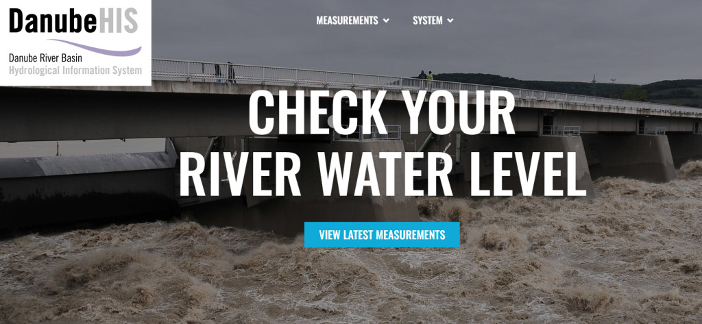
The newly launched Danube Hydrological Information System (DanubeHIS) offers near real-time and validated long-term hydrological and meteorological data for the entire Danube basin. This system is instrumental in enhancing flood risk management and supporting water-related scientific research. Explore this valuable resource and its near real-time data capabilities to better understand and manage the complexities of the Danube basin.
For the ICPDR, sharing data and information has been key to enhancing awareness and strengthening transboundary cooperation. The ICPDR has long prioritized data and information sharing to enhance awareness and foster transboundary cooperation. To this end, the ICPDR compiles, maintains, and publicly shares various types of data, such as water quality from the TransNational Monitoring Network (TNMN) and the Joint Danube Surveys (JDS), along with thematic map layers from the Danube River Basin Management Plan (DRBMP) and the Danube Flood Risk Management Plan (DFRMP).
Expanding this data scope, the ICPDR now publishes hydrological and meteorological data. The idea for this new data hub originated in 2016 when the Flood Protection Expert Group (FP EG) proposed developing a hydrological information system, recognizing its potential utility for standardizing data for ICPDR and its project partners. Over the following years, the FP EG, in collaboration with the Information Management and GIS Expert Group (IMGIS EG), refined the concept and scope of DanubeHIS, developed policies for data exchange, and engaged national hydrometeorological services in the system's development.
A significant challenge was harmonizing the diverse data formats from regional countries. To address this, the ICPDR utilized the DAREFFORT project's outputs (2018-2021), which developed the open-source HyMeDES Environet software (available on GitHub). This software minimizes the effort for national data providers to transfer their data while ensuring high data availability and quality standards.
Following the establishment of the data exchange with most data providers, the ICPDR Secretariat began operating the central platform, further enhancing the software and adding a web portal for end-users. The FP EG guided this development, opting to display Flood Protection Reporting Units as subbasins, as well as Q100 (river discharge occurring once every 100 years) and the lowest observed water levels as reference values, where available.
The now completed web portal provides access to all data agreed to be made available– such as water level, river discharge, water temperature, and precipitation. This information is viewable on maps and graphs. Users can self-register for an account to download data in WaterML 2.0, XLS, and CSV formats.
Data providers voluntarily submit and share data with DanubeHIS users, as outlined in the "DanubeHIS Policy document for data exchange". At its inception, DanubeHIS already includes over a thousand selected stations. In addition to automated, near real-time sharing of raw data, future activities will include adding more of already available historical records of validated long-term time series – for use in flood risk management and other water-related scientific activities in the Danube River Basin.
The ICPDR approved the system's launch in December 2023. You can now explore this new data at www.danubehis.org.


