National Management Plan Updates 2021
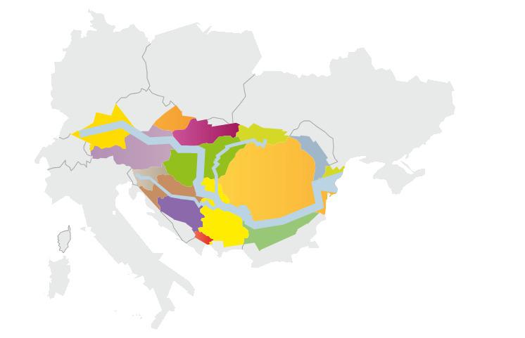
In addition to tackling issues at the overall basin-level with the Danube River Basin Management Plan & Danube Flood Risk Management Plan, the countries of the ICPDR provide national draft national River Basin Management Plans.
The countries invite the public to comment on these draft plans and contribute to their finalisation. Here, you find links to national websites with further information on public consultation opportunities and the relevant national documents.
Related
-
The confluence of the Brigach and Breg Rivers around Donaueschingen located in the Black Forest, Baden-Württemberg, is the source of the Danube. Over 56,184km² in Bavaria and Baden-Wuerttemberg are drained by the Danube – almost 17% of the entire country and 7% of the Danube River Basin. Some 9.4 million inhabitants live in the area, which makes it about 11.6% of the population of the entire basin.
-
The Danube is a major economic, geographical and cultural force in Austria. Draining over 96% of the country’s territory, the basin is home to 7.7 million people. In a country dominated by the Alps, the flat lands provided by the rivers are vital for the agricultural sector, human settlements and infrastructure. The Austrian territory accounts for 10% of the total area of the Danube Basin.
-
Located in the Carpathian Mountains, the Slovak Republic shares borders with Austria, the Czech Republic, Hungary, Poland and Ukraine. Water management in Slovakia is determined by its geographic position on the watershed divide between the Black and Baltic Seas. The Danube and its tributaries drain 96% of the country into the Black Sea.
-
The Czech Republic is situated at the roof of Europe and its waters are drained through rivers into three different seas. The majority of the territory is drained by the Elbe and Oder to the North and Baltic Seas. The Morava River drains almost 28 % of the country to the Danube. Nearly 2.8 million inhabitants – around 3.46 % of the population in the Danube River Basin – live in this area.
-
The Republic of Serbia covers an area of 88,499 km² and includes two provinces: Vojvodina (21,614 km²) and Kosovo and Metohija (10,910 km²); the latter being currently under an international protectorate. Approximately 92% of the country lies within the Danube Basin (accounting for 10% of the total Basin). Of this land, 30% is forested. With more than 90% of Serbia’s renewable water resources originating from outside national territory, international cooperation on water issues is crucial for sustainable water management.
-
The waters of Bosnia and Herzegovina are split between the Danube River Basin District and the Adriatic Sea Basin. Some 40.2% of the Sava river sub-basin, the second largest sub-basin of the Danube River Basin, lies in Bosnia and Herzegovina. The rest of the watershed is shared by Croatia, Serbia and Slovenia.
-
Montenegro, literally meaning the “black mountain”, is a small upland country. Just over half of its territory lies within the Danube River Basin, the remainder being in the Adriatic Sea catchment. Notable Danube rivers are the Tara, Piva, Lim and Ćehotina and the Ibar. In October 2008, the Convention on Cooperation for the Protection and Sustainable Use of the Danube River came into force in Montenegro.
-
The Danube is very significant to Romania, since the country is located almost entirely within the Danube River Basin. The Romanian section covers almost a third of the surface area of the Basin, and over a third of the river’s length flows through the country. Crucially, the Romanian (and also Ukrainian) Danube is the end carrier of all wastewater discharges into the Black Sea.
-
Three sub-basins of the Danube are partly located in Ukraine - the Tisza, Prut and Siret basins, as well as part of the Danube Delta. Furthermore, 2.7 million people live in the Ukrainian part of the Danube Basin, which is 3.3% of the total Danube Basin District. Ukraine has been a Signatory State to the Danube River Protection Convention since 1994. The Convention was ratified by the Ukrainian Parliament in 2002.
-
Slovenia covers a territory of 20,273 km² and is home to just over 2 million people. It is a diverse country in terms of its landscape and climate, since it is located at the meeting point of four major European geographical regions: the Alps, the Dinaric Mountains, the Pannonian Basin and the Mediterranean. 81% of the country lies in the Danube Basin, making up 2% of the entire Danube catchment area.
Links
-
Návrh plánu manažmentu správneho územia povodia Dunaja a Návrh plánu manažmentu správneho územia povodia Visly.
-
The national-level Danube River Basin Management Plans in Germany, created as a one-time joint plan by the federal states of Baden-Wuerttemberg and Bavaria.
-
The national-level Danube Flood Risk Management Plans in Germany, created as a one-time joint plan by the federal states of Baden-Wuerttemberg and Bavaria.
-
Der dritte Nationale Gewässerbewirtschaftungsplan (3. NGP) befindet sich aktuell in Ausarbeitung. Gemäß § 55c WRG ist der Entwurf zum Plan zu veröffentlichen und einer Öffentlichkeitsbeteiligung zu unterziehen (§ 55m WRG). Die Möglichkeit zur Stellungnahme besteht sechs Monate ab der Veröffentlichung.
-
Am 22. März 2021 wurde in einer Online-Informationsveranstaltung der Entwurf des 3. Nationalen Gewässerbewirtschaftungsplans (NGP 2021) vorgestellt und damit die 6-monatige Phase der Öffentlichkeitbeteiligung gestartet.
-
Hochwasserereignisse haben in der Vergangenheit immer wieder gezeigt, dass technische Schutzmaßnahmen an ihre Grenzen stoßen, wie zum Beispiel entlang der Donau 2002 und 2013. Gefahren durch Hochwasser müssen mit einer umfassenden Herangehensweise behandelt werden. Der vorliegende Entwurf des Hochwasserrisikomanagementplans zeigt mögliche Hochwassergefährdungen auf und definiert geeignete Maßnahmen zu deren Minderung.
-
Am 25. Februar 2021 fand eine Videokonferenz zum Thema „Hochwasserrisikomanagement in Österreich – Information zum Entwurf des Hochwasserrisikomanagementplans“ statt. Anlass war den Entwurf dieses Planes der Öffentlichkeit vorzustellen. Die Eröffnung der Videokonferenz erfolgte durch Bundesministerin Elisabeth Köstinger und Sektionschef Günter Liebel.
-
Národní plány povodí pořizuje Ministerstvo zemědělství a Ministerstvo životního prostředí ve spolupráci s příslušnými správci povodí a místně příslušnými krajskými úřady.
-
ДОКУМЕНТА – Програм рада и динамика израде Плана управљања водама на територији Републике Србије 2021-2027
-
Home page of the Ministry of Agriculture, Water Management and Forestry of the Federation of Bosnia and Herzegovina
-
Home page of the Sava River Basin District Agency
-
Home page of Republic of Srpska Government
-
Home page of the Danube Region Basin Directorate
-
Home page of the Bulgarian Ministry of Environment and Water
-
Hungary's River Basin Management Website
-
Home page for the Montenegrin Ministry of Agriculture and Rural Development
-
Home page for the National Administration of Romanian Waters
-
Home page for the State Agency of Water Resources of Ukraine
-
Slovenia's current national River Basin Management Plan.