Germany

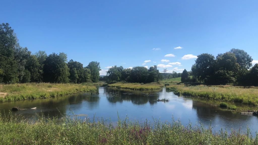
The Danube begins at the confluence of the Brigach and Breg Rivers in the city of Donaueschingen located in the Black Forest, Baden-Württemberg. The German Danube catchment area covers an area of about 56,200 km²; its share of the total Danube catchment area is approx. 7%. The German Danube basin is bordered by the Rhine basin to the west and the Elbe River basin to the east.
Landscape, Climate and Water Flow
The German Danube catchment area covers the Swabian and Franconian Alb, parts of the Oberpfaelzer and the Bavarian and Bohemian Forests in the north and the Swabian-Bavarian-Austrian alpine foothills as well as the German part of the Alps in the south.
The source of the Danube is located in the Black Forest in Baden-Wuerttemberg at the confluence of the rivers Brigach and Breg in Donaueschingen. From the Black Forest Mountains to the Austrian border, the river covers 635 km. The largest tributaries to the Danube in Germany are the Altmuehl, Naab, Regen, Iller, Lech, Isar, and Inn Rivers.
From the confluence of the Altmuehl at Kelheim, which is the mouth of the Main-Danube Canal, the Danube is a federal waterway navigable for large inland vessels over 213 km.
The average discharge of the Danube near the German-Austrian border is 1430 m³/s (reference 1901/2006). The average annual temperature (1971-2000) for the German Danube basin is 7.8 °C. From 1931 until 2015, it rose regionally by an average of 1.3 to 1.5 °C.
In the German part of the Danube basin, average precipitation is 991 mm per year (reference period: 1971-2000). Large parts of Central Franconia and the Upper Palatinate have mean precipitation totals of less than 750 mm per year. In contrast, in the (sub-)Alpine regions of Upper Bavaria and Swabia, eastern Lower Bavaria, and the southern Black Forest, precipitation is significantly higher (1500 to 2000 mm per year).
Manmade Impacts
Over 10 million inhabitants live in the German Danube Basin; the cities of Augsburg, Ingolstadt, Muenchen, Regensburg, and Ulm have more than 100,000 inhabitants. Settlements comprise 12% of the German Danube catchment area; agricultural areas comprise 48%; forests and semi-natural areas are 34% (as of 2016). The German Danube catchment area accounts for 15% of the total gross value added in Germany (as of 2016).
The connection rate for public drinking water supply is 99%. The largest part of the drinking water is obtained from groundwater (approx. 70%). With regard to wastewater disposal, the connection rate to the sewage system and sewage treatment plants with at least mechanical and biological treatment is 97%.
As of 2021, 35% of surface water bodies in the German part of the Danube basin were significantly impacted by point sources, 46% by diffuse sources, 4% due to water abstractions/discharges, 64% due to physical alteration of channel/bed/bank, 69% due to dams, transverse structures and locks, and 43% due to hydrological alterations.
For groundwater, nitrogen inputs were the main source of pollution. The impact on groundwater is evident in high nitrate levels, particularly in the intensively farmed regions.
Pollution
Rivers have been used as receiving waters for both urban and industrial wastewater effluents for hundreds of years. They also transport diffuse pollution loads. Over the past decades, general water quality has improved considerably through large investments in wastewater treatment plants. There have been substantial reductions in the oxygen-sapping organic substances and nutrients, such as phosphate and nitrogen. Since 1950, the number of wastewater treatment plants has increased from 20 to about 3,000. In 2000, around 93% of the Bavarian population was connected to these wastewater disposal facilities. The wastewater of the remaining 7% is treated in around 190,000 small wastewater plants.
Since 1975, water body protection includes measures specifically relating to the treatment of mixed water and rainwater. So far, storm-water tanks with a total capacity of 1.95 million m³ have been built.
For more information on the above, you can download the 'Facts & Figures' fact sheet below.


