Global Change Atlas of the Danube Region: sharing research for transboundary solutions

Global Change Atlas of the Danube Region: sharing research for transboundary solutions
For answers to pressing issues regarding the future management of land, water and energy resources, scientists and institutions must think beyond geographical borders and across disciplines.
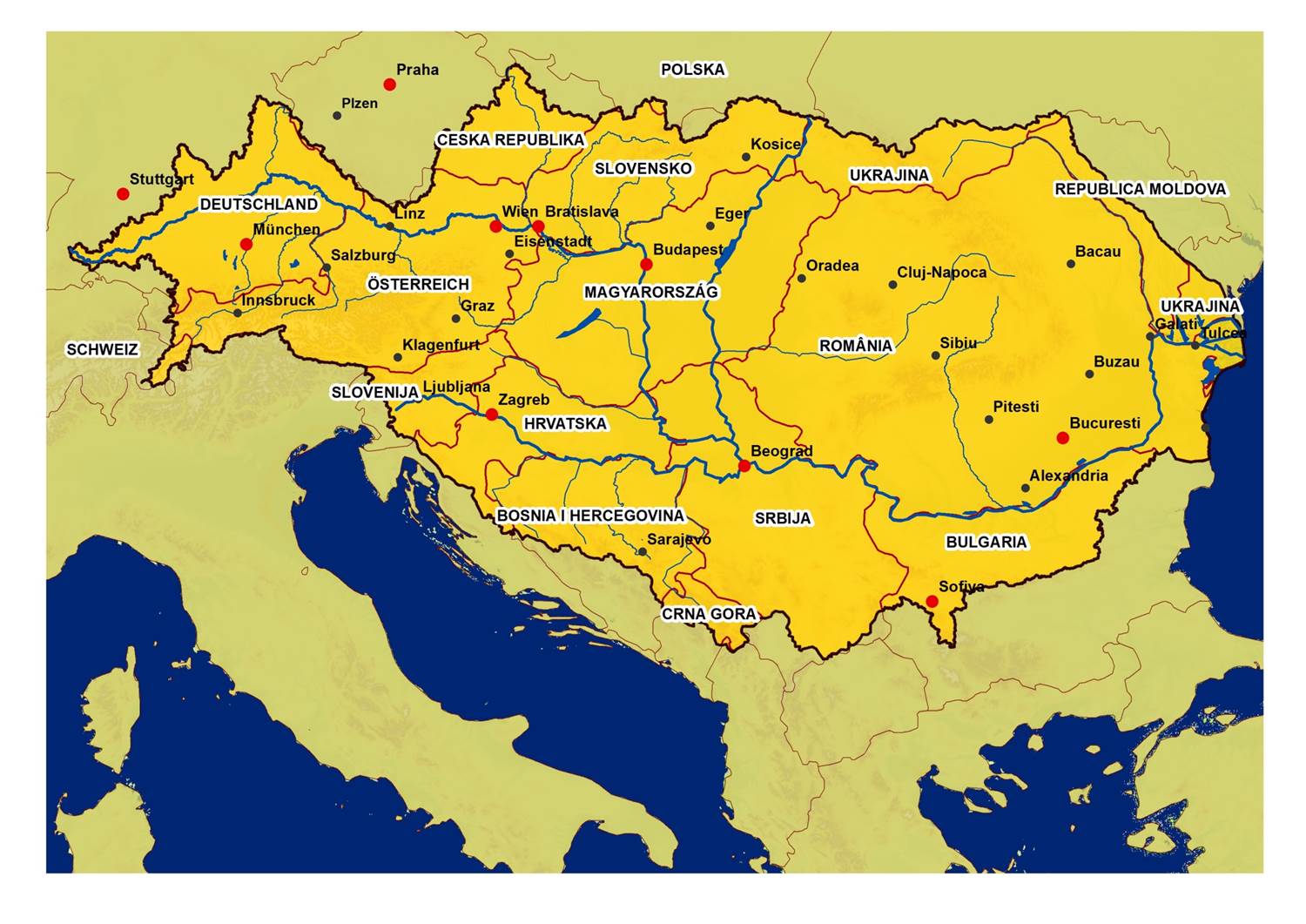
Countries participating in the GLOCAD, shown in the map here, will collaborate closely to tackle the region’s biggest challenges – whether it’s developing sustainable agriculture, preserving biodiversity, reducing pollution or adapting to the increasing danger of floods, among others.
© Agency for the Water District of the River Sava, Bosnia and Herzegovina
Integrated water management is based on the understanding that rivers know no boundaries and that countries must work together to find solutions to shared problems. A new research network established in the Danube region will ensure that knowledge about land and water management flows just as smoothly.
The new project, funded by the German Federal Ministry for Education and Research (BMBF) and led by scientists at the Ludwig Maximilians University in Munich, will establish a collaborative research network to develop a digital Global Change Atlas of the Danube Region (GLOCAD). The GLOCAD initiative will focus on issues relevant to the EU Strategy for the Danube Region, including pressing social and environmental issues related to water, food and energy.
Strengthening cooperation. To tackle the region’s biggest challenges – whether it’s developing sustainable agriculture, preserving biodiversity, reducing pollution or adapting to the increasing danger of floods, among others – Danube countries must collaborate closely. “Scientific cooperation between countries needs to be improved to understand regional differences while finding common solutions to problems”, says Markus Muerth, researcher at the the Ludwig Maximilians University in Munich working on the GLOCAD project.
The GLOCAD project will improve cooperation between institutions in the Danube River Basin and help researchers at those institutions exchange knowledge on land and water management as well as potential changes in land use, climate and ecosystems and their services to society created in past and ongoing projects.
Producing and sharing knowledge. The network will develop common methods to monitor, map and model the current and future state of water resources, agriculture, energy production and ecosystems in the Danube region using state-of-the-art remote sensing, simulation models and information technologies. The network will provide Spatial Scientific Services (SSS) – including detailed standardised tools and digital maps of the region – which will allow for analysis of resources like water and soil for a variety of issues related to the Danube Strategy.
This information will be made available to a variety of stakeholder groups, and the network will complement other research initiatives in the region, especially the Danube Water Nexus and Danube Data and Service Infrastructure initiatives carried out by the European Joint Research Centre (JRC).
“We need and have already contacted ICPDR as the main external partner at the supranational level,” says Muerth. “We cannot look at policies and measures regarding water, land and energy from a scientific standpoint, but need the input of stakeholders at this level and at the national and regional level, too.”
The network aims to secure project funding from Horizon 2020 with a commonly agreed, well-founded and progressive proposal that also complements the work of the JRC regarding the scientific support of the Danube Strategy in the best possible way. “We hope that our work will contribute to the communication of the water, energy and agricultural sectors in the Danube region,” says Muerth.


