Tisza Basin

Covering an area of 157,186 km², the Tisza River Basin is the largest sub-basin of the Danube River Basin. The Tisza River is the longest tributary of the Danube (966 km), and second largest in terms of flow after the Sava. The countries of the Tisza Basin (Ukraine, Romania, Hungary, Slovakia, Serbia) agreed to close transboundary co-operation, aiming to achieve integrated water resources management of the Basin.
The Tisza River can be viewed in three main segments:
- The mountainous Upper Tisza in Ukraine, upstream of the Ukrainian-Hungarian border along the border with Romania
- The Middle Tisza in Hungary, which is joined by large tributaries including the Bodrog and the Slaná/Sajó (both fed by water from the Carpathian Mountains in Slovakia and Ukraine), as well as the Somes/Szamos, the Crisul/Körös River System and the Mures/Maros from Transylvania
- The Lower Tisza in Serbia downstream of the Hungarian-Serbian border, fed directly by the Bega/Begej, and indirectly by other tributaries via the Danube–Tisza–Danube Canal System
History of the Tisza River Basin Cooperation
Under the EU’s WFD, the ICPDR is the platform for coordination for the implementation of the provisions of the Directive between Danube countries (including non-EU Member States). In addition to Danube River Basin planning, the ICPDR also takes an active role in sub-basin planning. One of the key objectives of the WFD is to ensure that all waters meet “good status” at latest by 2027 - and to retain it afterwards. The work towards this follows management plans updated at 6-year intervals. The elaboration of the first Tisza River Basin Management Plan was started in 2005, the plan was adopted in 2010 and endorsed at a ministerial meeting in 2011.
The Tisza Group
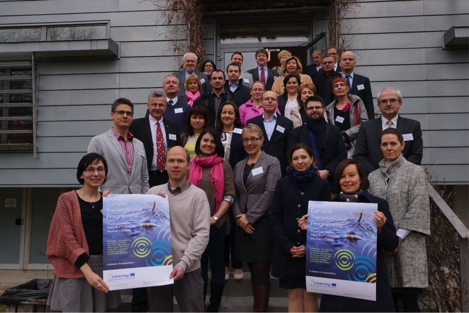
At the first ministerial meeting of the ICPDR countries held in December 2004, ministers and high-level representatives of the five Tisza countries signed a Memorandum of Understanding, establishing the ICPDR Tisza Group for coordination as well as implementation of an international integrated Tisza River Basin cooperation under the umbrella of the ICPDR. The ICPDR Tisza Group held its first meeting in 2005 and has been meeting regularly since then. It strengthens coordination and information exchange in the Tisza River Basin and ensures harmonisation and effectiveness of related efforts.
The ICPDR’s Tisza Group countries agreed on preparing a sub-basin plan (the Integrated Tisza River Basin Management Plan), which integrates issues on water quality and water quantity, land and water management, floods and droughts.
A first milestone in the implementation of the 2004 Memorandum of Understanding was the 2007 Tisza Analysis Report. This report:
- characterizes Tisza River and basin,
- identifies the key environmental and water management problems in relation to water quality and water quantity, and
- creates the basis for further steps forward.
On 16th February 2010, ministers and high-level representatives from Ukraine, Romania, Hungary, Slovakia and Serbia adopted the 'Ministerial Statement towards the development and implementation of a River Basin Management Plan for the Tisza River Basin'.
On 11th April 2011 a revised Memorandum of Understanding was signed by high representatives of the Tisza Countries in Uzghorod (Ukraine) on the occasion of the ICPDR’s Ukrainian Presidency.
The JOINTISZA Project (2017-2019)
The aim of JOINTISZA (2017-2019) was to strengthen cooperation between river basin management planning and flood risk prevention to enhance the status of waters of the Tisza river basin.
A long-term goal of the project was to generate momentum for improved implementation of the EU’s Floods and Water Framework Directives, targeting four specific groups:
- National water administrations,
- Water research institutes,
- International organizations and
- Other interested stakeholders, and NGOs.
The ICPDR ensured the utilisation of the already existing DanubeGIS system, for the JOINTISZA project use, and facilitated the expansion of the database with information about tributaries of the Tisza River Basin larger than 1000m². The most significant outcome of the project was the preparation of the revision of the Integrated Tisza River Basin Management Plan (ITRBMP) in 2019, which already included primary aspects of the Floods Directive. The project’s pilot actions, focusing on urban hydrology management and drought management, will enable the actors involved to develop new approaches unprecedented in a comparable environment, and contribute to the updated management plan.
The closing event of the project saw joint planting of trees and the creation of the JOINTISZA grove.
On 26th September 2019, to mark the closing of the JOINTISZA project, a high-level Ministerial meeting in Budapest endorsed the updated ITRBMP. During this meeting, the Tisza MoU was further updated and reinforced, demonstrating the continuing commitment of the Tisza countries to the cooperation in the Tisza River Basin including the implementation of the Joint Programme of Measures.

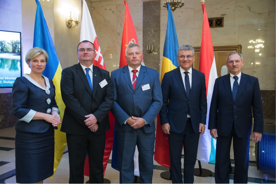
(Above: Tisza Ministerial Meeting 2019, Budapest)
Every year for some days between late spring and early summer the Tisza blooms with millions of 'Tiszaflowers'. This long-tailed mayfly (Palingenia longicauda) is the largest in Europe. It lives for 3 years as larvae at the river bottom, eventually breaching the surface where males moult and females hatch.
Juts before sunset, the beautiful mating-dance – called 'blooming' – begins and the river’s surface explodes to life. Shortly after mating, females lay eggs on the river from where they drift to the bottom. The spectacle is over and darkness covers millions of dead bodies on the river surface ... the mayflies perish.


